Blog · Places · 18 July 2026 · Jack Burt
Scafell Pike beyond the queue: routes, history and the quiet ways up
England's highest mountain draws 250,000 visitors a year, mostly up one path. The other ways are better, and the summit has more history than the crowds suggest.
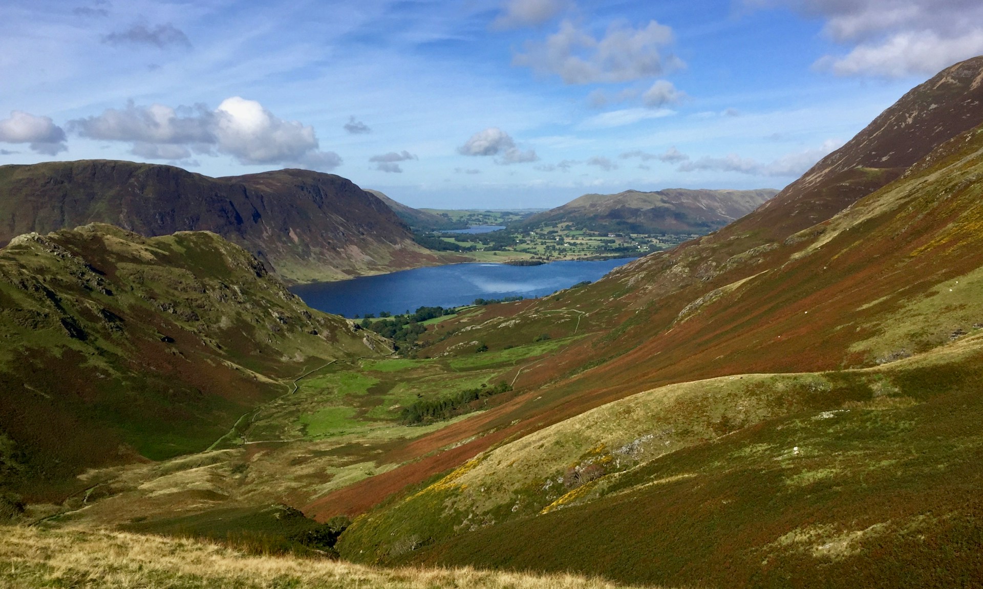
At 978 m, Scafell Pike is the highest ground in England, the busiest tick in the Wainwrights, and one leg of the National Three Peaks. On a summer Saturday the main path from Wasdale carries a procession of headtorches from about 2am. None of this is a reason to avoid the mountain. It's a reason to go up a different way.
The summit you're queueing for
The top itself is worth more attention than it usually gets. The summit plateau is a field of volcanic boulders, bare enough that the cairn had to be built rather than found: a massive circular platform, given to the National Trust in 1919 as a war memorial to the men of the Lake District who died in the First World War. Read the plaque; almost nobody does.
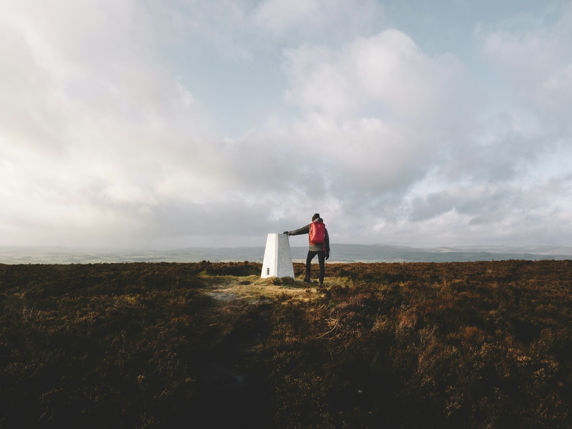
The highest war memorial in England also carries a trig pillar, which means the summit is two ticks in one: the peak and the pillar, independently collectible if you keep count of trig points. Atlas logs both from the same track.
The four ways up, honestly rated
Wasdale (Brown Tongue). The trade route: shortest, steepest, most crowded, least interesting. Its one glory is starting beside Wastwater, England's deepest lake, under its most dramatic screes. If you're doing the Three Peaks against a clock, this is your route and nobody will think less of you. On any other day, consider the alternatives.
Borrowdale via the Corridor Route. The connoisseur's line and it isn't close. From Seathwaite over Styhead Pass, then the Corridor threads a natural shelf across the mountain's northern face, with Great Gable behind you and the ravine of Piers Gill beside you. Longer than Wasdale, incomparably better. Navigation matters in mist where the path crosses broken ground.
Eskdale. The long, empty way: upper Eskdale is about as remote as England gets, and you approach the massif from its wildest side. Double-figure miles, route-finding rather than path-following, and a fair chance of seeing no one until the summit. The connoisseur's line for people who found the Corridor Route too popular.
Langdale via Rossett Gill and Esk Hause. A proper mountain day collecting the grandstand approach over Angle Tarn, with easy add-ons of Great End and Broad Crag on the way. The natural choice if you're bagging: a single horseshoe from Langdale can net four Wainwrights of which the Pike is merely the highest.
The neighbour worth knowing
Across Mickledore, the rocky saddle south of the summit, stands Sca Fell: lower by 14 m, harder by a distance, and historically the reason the Pike is called the Pike (it was long assumed the lesser of the pair). The direct link over Broad Stand is a rock climb that has caught out walkers for two centuries; the walkers' ways round go via Foxes Tarn or Lord's Rake. Bagging both in a day is one of the Lakes' best outings, and your GPS track will show exactly why it takes longer than the map suggests.
The record
However you go up, the mountain ends up in your data: the date, the route, which neighbours you collected on the way. If you've been up before with a phone or watch recording, Atlas already has it, including whether you actually crossed the summit boulder field or turned round at the cairn on the false top. The mountain doesn't care either way. The record is just more honest than memory, which on Scafell Pike, in clag, at hour seven, is exactly when memory gets creative.
Atlas matches your Strava or GPX archive against every UK peak, trail and trig point. Find out free.