Guides · How-to · 18 July 2026
How to track your Wainwrights automatically (no spreadsheet required)
Three honest ways to keep count of your Wainwrights, and how to rebuild your full round from the GPS history you already have.
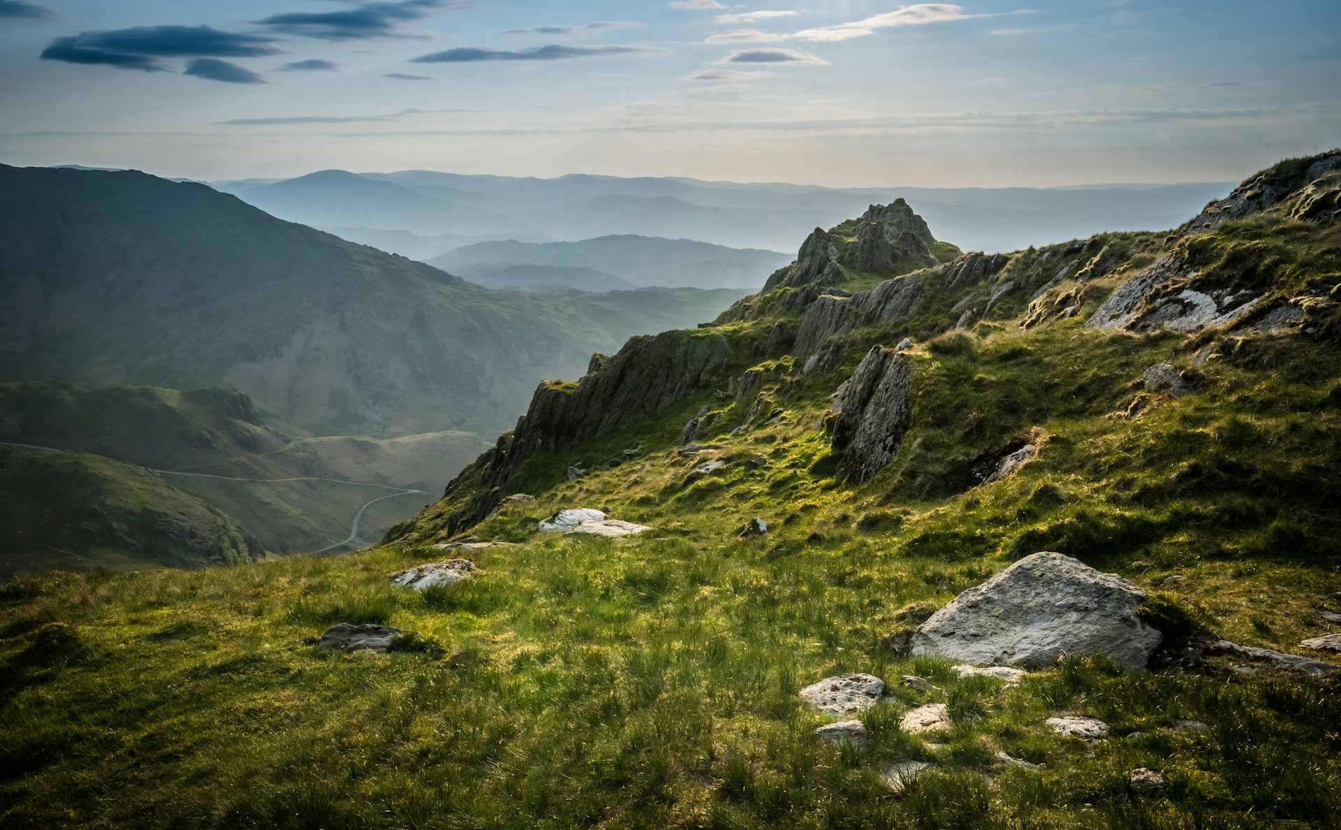
There are 214 Wainwrights. At some point, usually around fell number thirty, every bagger asks the same question: how am I actually keeping count?
Most people end up with one of three systems, and they fail in the same predictable ways.
The three traditional systems
The book. Ticks in the back of the Pictorial Guides, or a laminated map with a highlighter. Romantic, tactile, and completely unrecoverable when you leave it in a bothy. It also can't answer the useful questions: which ones are left within an hour's drive, or what did I actually climb that wet Saturday in 2019?
The spreadsheet. The serious bagger's default. Columns for date, weather, route, sometimes a second sheet for Birketts. It works, but it only knows what you remember to type into it, and rounds stall for exactly that reason: the walking continues, the data entry doesn't. If you have ever come home from a big day, meant to log four summits, and logged none of them, you know the failure mode.
Memory. "I've done about 90, I think." You have not done about 90. Everyone who checks discovers the real number is different, usually lower, occasionally higher because a ridge day quietly bagged three tops you never noticed had names.
The fourth option: work it out from your GPS history
Here's the thing most people miss: if you've been recording your walks on Strava, Garmin, Komoot or a watch, the answer already exists. Every summit you've stood on is in a GPX track somewhere. The record was kept; nobody was reading it.
That's the entire premise of Atlas. You connect Strava (or upload GPX files directly), it reads your activity history, and it matches every track against the full list of 214 Wainwrights using each summit's actual location. A pass within 75 metres of the top counts the fell. A few minutes later you have your real number, the date of every ascent, and, more usefully, the list of what's left.
It also catches the ones you've forgotten. Ridge lines like the Fairfield Horseshoe or the Coledale Round collect summits people never log individually; the track doesn't forget them.
A few honest caveats:
- If you didn't record a walk, no tool can recover it. Pre-smartphone ascents need adding by hand, same as ever.
- Summit criteria matter. Atlas uses a 75 m radius on the surveyed summit point, so a path that traverses a shoulder without visiting the top correctly doesn't count. Purists approve of this; people who "basically did" Clough Head do not.
- A free account imports your last 12 months; the full multi-year backfill is a Pro feature.
Whatever you use, keep the habit
The system matters less than the recording. Record every walk, on anything, and your round becomes recoverable data instead of an argument with your own memory. Fifty years from now the spreadsheet will be a lost file format; the GPX standard, plain text with coordinates in it, will still open.
If you want the count done for you, Atlas is free to try: connect Strava, wait two minutes, and find out what your real number is. If it's lower than you thought, we apologise in advance. The gap is the fun part anyway.
Related
- How many Wainwrights have I done? Three ways to find out
- The full Wainwrights list, with heights
- Peak bagging apps and trackers compared
Atlas matches your Strava or GPX archive against every UK peak, trail and trig point. Find out free.