Blog · How-to · 20 July 2026 · Jack Burt
Trig point bagging: what it is and how to start
A beginner's guide to collecting Ordnance Survey trig pillars - what they are, why around 6,500 survive, and how to keep count of the ones you've visited.
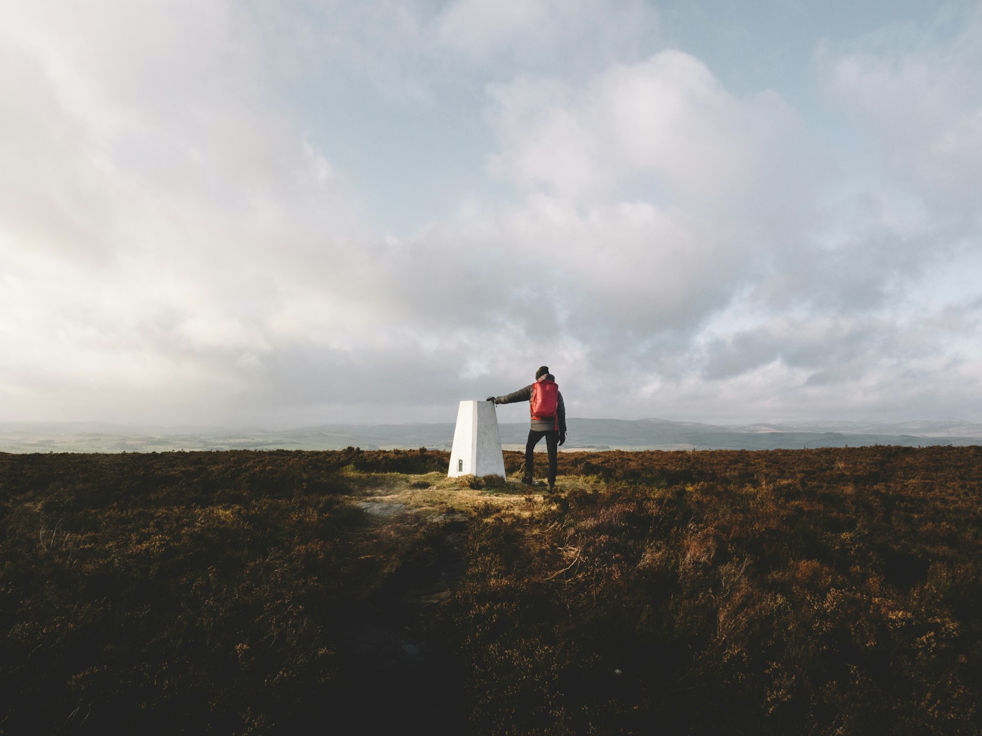
On most British summits, and in a surprising number of field corners, stands a concrete pillar about waist high with a metal plate on top. These are Ordnance Survey triangulation pillars, "trig points" to everyone, and collecting them is one of the great low-key British hobbies.
What they're for (past tense)
From 1936, the Ordnance Survey rebuilt Britain's mapping on a network of these pillars. Each one held a theodolite; each could see at least two others; the triangles between them fixed every position in the country. Around 6,500 pillars were built, on summits, moors and the occasional roundabout, and the maps they produced are the ancestors of the ones on your phone.
Then GPS arrived and made the entire network redundant more or less overnight. The pillars stayed, too solid to be worth removing, and quietly changed function: from survey infrastructure to finish line. There is a pleasing circularity in using satellite positioning, the thing that retired them, to prove you've visited them.
Why people collect them
The habit predates every app. Trig baggers were logging visits in notebooks decades before "gamification" was a word, and Trigpointing.uk has been the community's home online since the early 2000s: condition reports, photographs, and visit logs for every pillar in the country. If trig points become your thing, you'll end up there; it's a proper community and we're not trying to replace it.
The appeal is the same as any list, with two upgrades. First, density: there's a trig within reach of almost everyone in Britain, so a spare hour anywhere can produce a tick. Second, completeness is hopeless: with thousands of pillars, nobody is finishing the set, which takes the pressure off nicely. It's collecting for the sake of the walk.
A cultural note for the newcomer: the classic celebration is a photograph of (or on) the pillar. Standing on one is traditional. Fitting your whole walking group on one is advanced.
Keeping count
Manual logging works the way it always has: notebook, or an account on Trigpointing.uk with photos. Both reward the deliberate, single-trig outing.
The automatic route is where Atlas comes in. It tracks around 6,400 pillars, drawn from the Ordnance Survey's trig archive and OpenStreetMap, and matches your GPS history against their locations: pass within 50 m with your watch or phone recording and the pillar is logged with its date. Connect Strava and your historical trig record materialises alongside your Wainwrights and Munros. Summit trigs also cross-link to their peaks, so bagging Helvellyn counts both the mountain and the pillar that stands on it.
Trigpointing.uk remains the reference for condition reports and photos.
Starting this weekend
Find your nearest pillar (the Atlas map shows them, as does any OS map: look for the small blue triangle). Walk to it. Touch the top. That's the entire initiation ceremony.
Fair warning: they multiply. The first one is a curiosity; by the tenth you own a laminated map or an account that counts them for you.
Atlas matches your Strava or GPX archive against every UK peak, trail and trig point. Find out free.